Cymdeithas Hanes Mechell

The Demography of Llanfechell 1851 & 1901
William Bulkeley and the poor of Llanfechell
Llanfechell in the early 19th Century
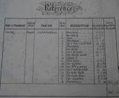
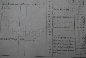
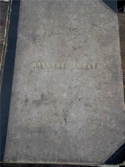
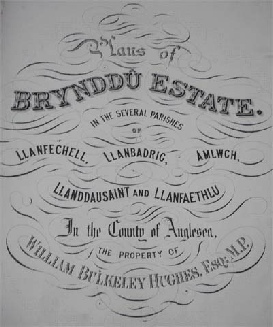
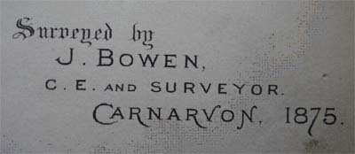
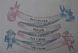
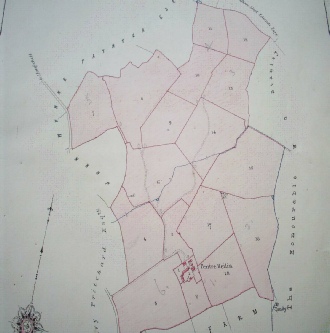
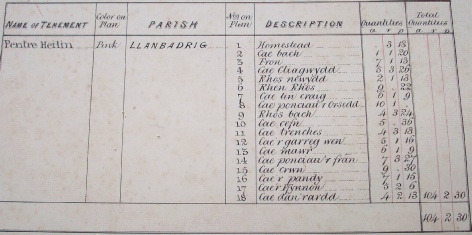
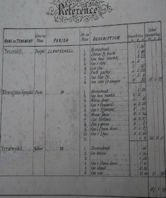
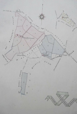
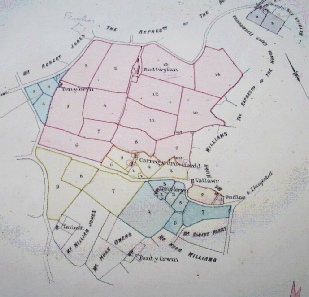
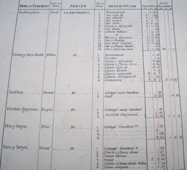
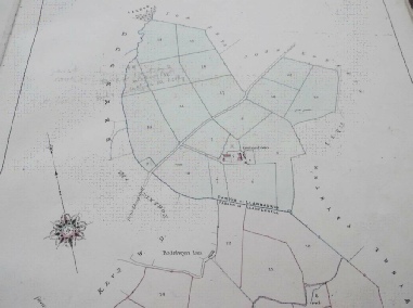
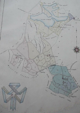
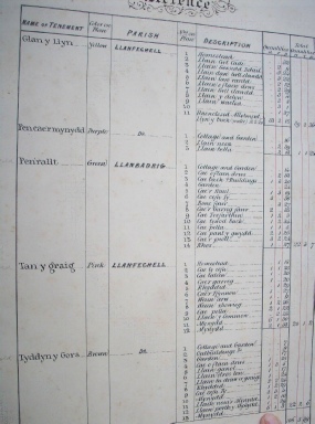
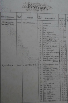
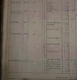
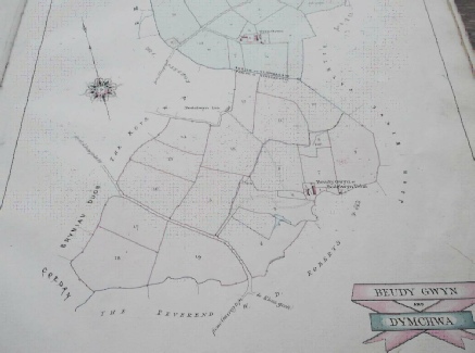
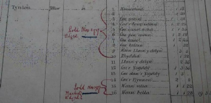
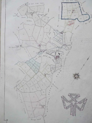
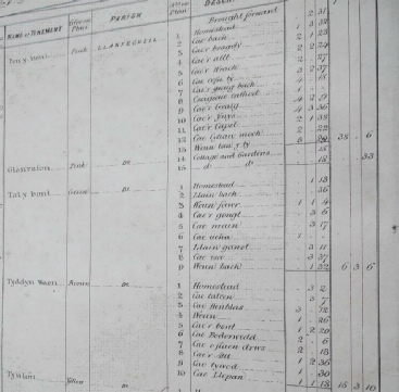
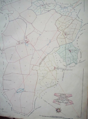
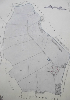
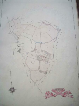
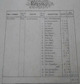
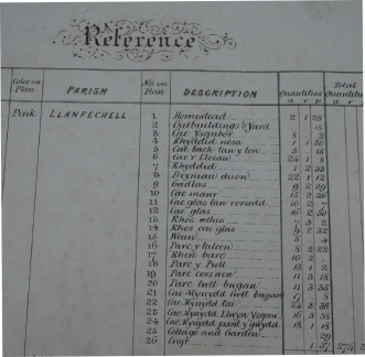
A great deal of information about the names of farms and fields was gained from a book recording plans of the Brynddu Estate in 1875. As well as giving details about the estate itself, there is also much information about the ownership of adjacent land.
We found it interesting in the way that every field had been measured thoroughly, and how this had been recorded e.g.
|
|
a |
r |
p |
|
Cae’r pysgodlyn |
6 |
3 |
34 |
a acre
r rods/rutes (five and a half feet)
p perches/purches (five and a half yards)
Click on documents and maps to see larger versions
**************************************************************************
**************************************************************************
**************************************************************************
**************************************************************************
**************************************************************************
**************************************************************************
**************************************************************************
**************************************************************************
**************************************************************************
**************************************************************************
**************************************************************************
**************************************************************************
